
This week sees the launch of two new Flood Warning schemes by SEPA. One is a scheme addressing fluvial flooding in Aberfoyle, in the southern Highlands. The other, discussed here, is for the Outer Hebrides (also known as Eilean Siar in Gaelic). The scheme has been developed over the past year or so and presented a number of forecasting challenges.
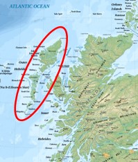
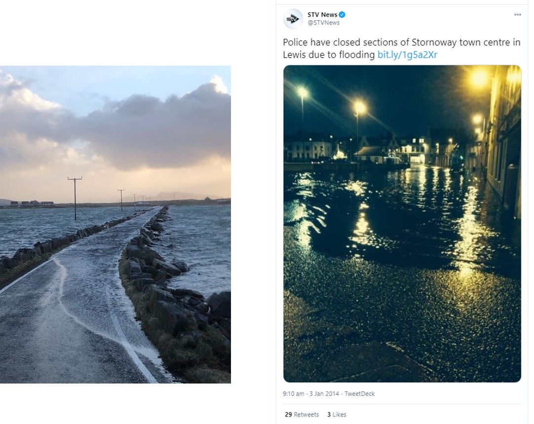
The Outer Hebrides consist of around 60 islands, of which 15 are inhabited. Many of the islands are linked by causeways. The coastline is complex, with many inlets, small islands and sand bars. The weather can be extreme (for the UK), with the west coast fully exposed to Atlantic storms. Travel around the islands is often severely restricted due to flooding of causeways by high water levels or wave action.
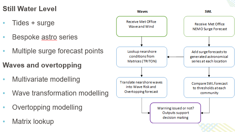
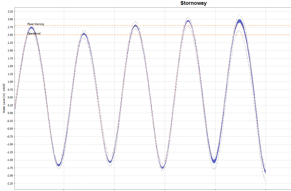
A forecasting system was developed for the islands in a project supported by coastal modellers at JBA Consulting, for use in SEPA’s Delft FEWS flood forecasting platform. It involves still water level (SWL) calculations for 44 forecast points, and automated look up tables to calculate overtopping rates, these rates being generated from offline modelling. In partnership with the Met Office, tidal surge, wind and wave short term forecasts are added to long term astronomical tide series to determine the values at the forecast points, which are compared to warning thresholds derived during the project.
The scheme was launched on 10 November 2020 and will deliver flood warnings to emergency responders and members of the public. The current forecasting outlook suggests it’s likely to produce forecasts of exceedance over the coming days.
Messages will be issued via SEPA’s Floodline service, as appropriate. Forecasts will also inform the coastal risk assessment for the forecasting service’s Flood Guidance Statement.
Launch of this new system is another milestone in our aim of working with the Met Office to extend flood warning lead times and understanding uncertainties in forecasts, through the use of ensemble forecasting.
