
Peter Sloss, one of the Met Office forecasters involved in the flood forecasting service, provides in inside view of the developing hydrometeorological service capabilities.
“Weather forecasting and more specifically rainfall forecasting was so much simpler way back then, even going back a relatively short period of 5 to 10 years. We were using a single deterministic weather model, the Met Office Global Model (GM) which then provided boundary conditions for a higher resolution limited area model or LAM. We must bear in mind that today’s GM has a higher horizontal resolution (~25km) than the first version of the LAM. There was a significant human contribution to the final output especially as orography (hills and mountains) was never modelled precisely due to the relatively large grid spacing. We also had sight of numerical models from other centres but these were not necessarily optimised for UK forecasting. I remember one forecaster who swore by a third party model (no name to protect the innocent!) but I did feel that we were ‘clutching at straws’ by referring to it!
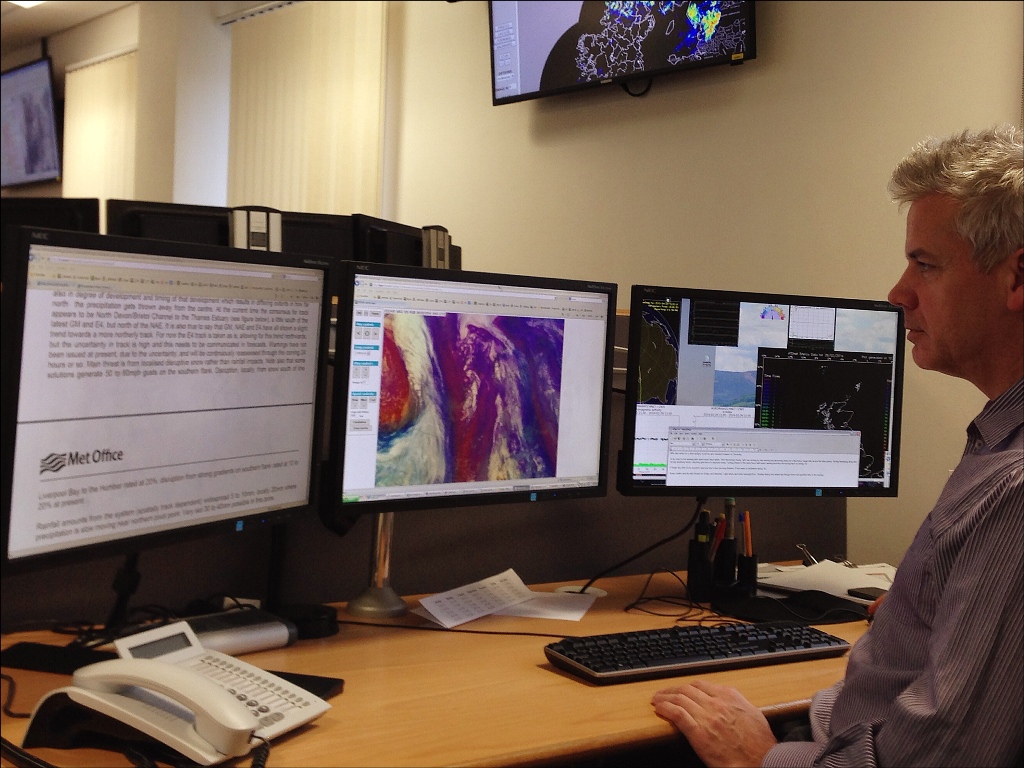
One of the operational meteorologists providing support for the daily production of the flood guidance statement in Scotland.
When it came to producing the rainfall forecasts for SEPA in previous years, we had the data from one model which we ‘adjusted’ following guidance on the evolution with the Chief Forecaster at Bracknell (now Exeter). We would type in any extra relevant information and then issue. Rainfall warnings were also relatively simple. We had a threshold value of rainfall in a 24 hour period. If we thought that would be met, we would issue a rainfall warning and that was it. We would then sit back ‘with our feet up’ waiting for the heavy rain to begin! In the meantime, the confidence level for the event would increase or decrease with the arrival of every satellite picture, radar image and later model runs. There was seldom an opportunity or formal mechanism to discuss this with anyone unless the warning was so wrong that it required to be cancelled. We were, to a certain extent, working in isolation. Without an operational requirement to talk to anyone…. we had ‘peace and quiet’!
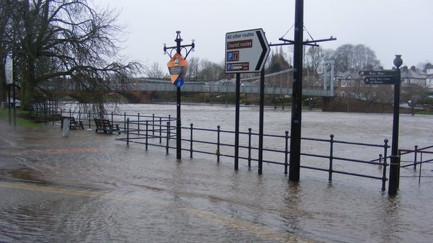
Flooding on the Nith in Dumfries during December. Environment Minister, Paul Wheelhouse: “I was extremely impressed by how well prepared all the authorities were – aided by the timely and accurate flood forecasts from the Scottish Flood Forecasting Service (Source: BBC).
Since the implementation of the Scottish Flood Forecasting Service in the Spring of 2011, things have got busier and more focused. For a start, we spend more time on the telephone communicating the weather situation with our hydrologist partners instead of keeping it a ‘secret’ as we did before. We also spend a lot of time analysing various weather models both deterministic and probabilistic. We still look at models from other centres but now have a better idea of their relative performance and characteristics. With a choice of models and the increased use of ensembles, most significant weather events present the meteorologist with a range of options. Our job now is using our experience, not only to add value to model outputs, but also having the courage to discount solutions which we think are unlikely. This is done on a regular basis with always the concern in the back of your mind that an outlying solution might just be right. You know that after every extreme weather event, one of the model solutions may have provided good guidance. We can however exploit the benefit of hindsight to improve the quality of our decisions, should a similar situation come along again.”
So what has changed?
“Before; yes simpler but lacking the joined up working and improved decision making that comes with a formalised operational partnership. We would issue warnings but have no way of communicating the evolution of the weather event and changes in confidence. We probably got it ‘wrong’ more often and did not always make the best decision with the information we had.
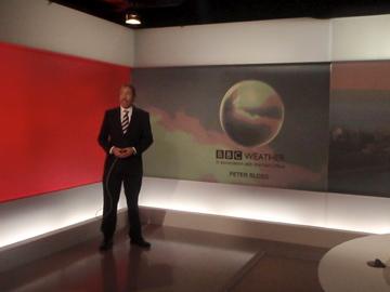
Peter Sloss is a meteorological forecaster at the Met Office and has over 30 years experience in the provision of forecasting services including BBC Scotland. Based in the Operations Centre in Aberdeen, Peter has been one of the core flood forecasting service team from the start in 2011.
After; a huge improvement with few surprises during the evolution of a weather event. Always fine tuning the details of the weather forecast up to and during the event and communicating this message to all concerned. Also, as a forecasting service partner, the meteorologist is much more focussed on the impacts of the rainfall rather than just the amount of rain expected. Yes the models are getting better and the increased use of high resolution probabilistic forecasts are helping to quantify uncertainty but the impact based discussions between the meteorologist and the hydrologist remain a crucial and effective part of the flood risk guidance and, ultimately, the decision making process with responders in Scotland.”

Pingback: A look back on a decade of challenges and achievements for the Scottish Flood Forecasting Service | Scottish Flood Forecasting Service