
2025 marks ten years of our co-convened PICO session at the EGU General Assembly on operational forecasting and warning systems for natural hazards: innovations and challenges. It’s interesting to reflect on what topics were discussed in 2015 and the key topics are now. Clearly the use of AI and machine learning has become an emerging area of opportunity as well as making forecasts more meaningful for users through impact-based communication. All the abstracts and some of the presentations are available online, but here’s a summary of the session.

The session opened with a couple of talks on climate services – sub-seasonal to seasonal predictions. Chloe Hopling presented work under the Clare Programme, where remote sensing and machine learning techniques help the Kenyan Drought Management Authority prepare for water scarcity. Massimiliano Zappa, from WSL in Switzerland, covered approaches to combining modelling techniques across hydrology and including new AI-based models to also help drought forecasting and has also contributed to our DelugeAI rapid research on flood forecasting.
Tim Busker from Vrije Universiteit Amsterdam, compared transboundary early warning systems across Central Europe. Whilst forecasting approaches are advanced, the translation to impacts, warnings and actionable advice remains difficult. We had a good chat on the use of Common Alerting Protocol (CAP) as we push to integrate warnings from Scotland onto the MeteoAlarm platform and Google using CAP.

Maggie Henry Madsen presented some excellent work by the Danish Meteorological Institute. They have rapidly developed impact-based solutions and gave an example of coastal warning where they have developed a real-time mapping service for the entire coast of Denmark for 5 day mapped predictions of sea level and surge inundation. Work is also underway on river and surface water flooding and how they are working with responders to make this service effective.
As we saw from our work on the NERC Project Emerge with NVE and the University of Strathclyde, Trine Jahr Hegdahl covered work in Norway to improve local Decision Support. The work is focusing on four key needs of the user: early information on the risk; locally relevant information about the consequences; effective communication or a range of stakeholders; and easier documentation on the consequences and adaptation approaches.
The final presentations turned to the challenge and developments around hard to predict and extreme flash flooding. Timothy Hewson from ECMWF covered low probability forecasts of high impact events and the ECMWF ecPoint system. Tim showed how the system provides estimates of likely maximum rainfall, tailored for flash flood applications and the utility of these predictions even if probabilities are small. We are continuing the discussion to see where this could be of benefit to our flood forecasting service.
Charlie Pilling from the Flood Forecasting Centre gave the final talk before the interactive sessions. He presented on the development of a new Rapid Flood Guidance service for flash flooding in England and Wales as it moves into its second year of operation. This new service and product for flooding in the ‘nowcasting’ stage has been developed in partnership with the Expert Weather Hub at the Met Office and brings a new approach to communicating with responders during these challenge and rapidly developing convective spells.
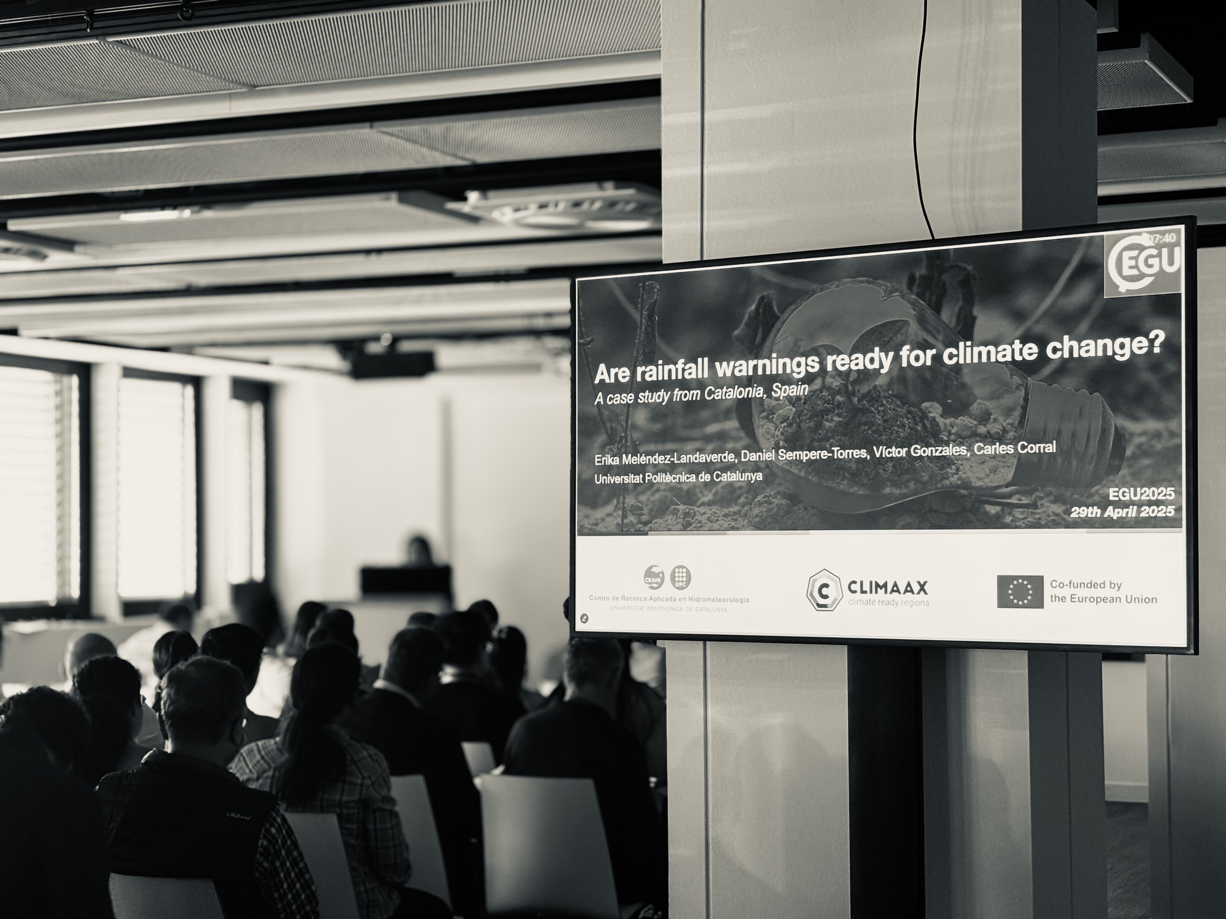
There’s so much other great science on show at the General Assembly beyond our session, however a quick plug to the work of Erika Melendez-Landaverde from the Universitat Politecnica de Catalunya. Using rainfall depth-duration predictions linked to impacts are common for many warning services. Recognising this and needing to consider how precipitation extremes will change in frequency and intensity with climate change, the work she presented and funded under an EU Horizon 2020 project, uses a framework to apply future scenarios and assess spatial variations in critical thresholds.
